Events for all > Exhibition Touching to discover the world
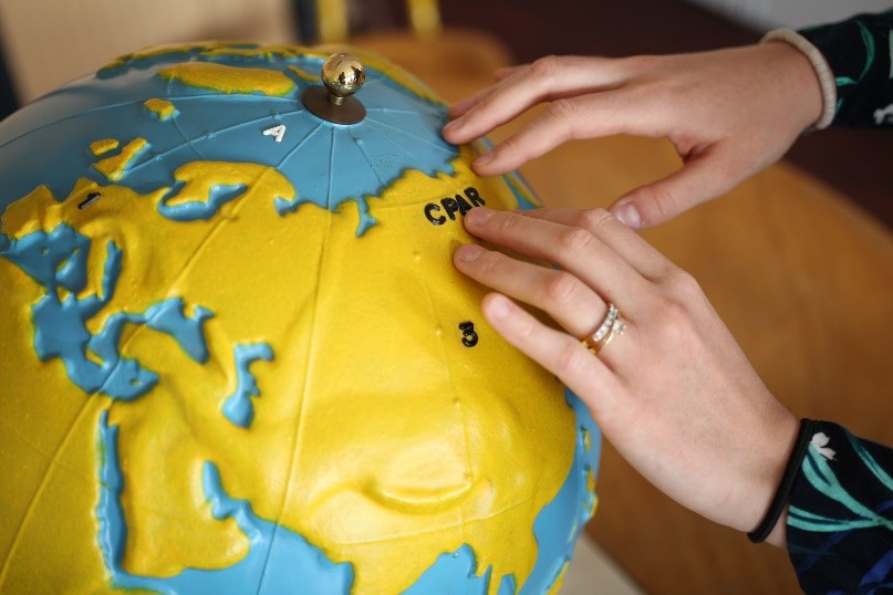
Exhibition Touching to discover the world. Adapting Geography for the visually impaired Maps are an essential tool for teaching and practicing geography and are based mainly on visual information. But how to allow visually impaired or blind people to access cartography? How can visual information be transformed into tactile information? What types of maps are possible? How far can educational content be adapted? Through several examples of tactile maps and models, the exhibition presents different adaptations made for visually impaired students and invites a more global reflection on educational practices and teaching contents. The exhibition is produced in partnership with the Service des documents adaptés pour déficients visuels (SDADV) of the Institut national de formation et de recherche pour l'éducation des jeunes handicapés et les enseignements adaptés (INSHEA). The SDADV designs, produces and makes available adapted documents accessible to students with visual disabilities (blind and visually impaired). Since 2003, a bank of adapted images regarding school programs is regularly extended and made available for free download on the INSHEA website. To date, more than 600 documents are available, and several disciplines are represented, including history and geography. Each document is generally treated in 3 versions: relief and Braille, grayscale and large print, color and large print, accompanied by a reading guide. These adapted documents, which are therefore very simple, are also of interest to other types of students with special educational needs. Through agreements with partners (BnF, Cité des Sciences et de l'Industrie, Mémorial du Mont-Valérien, etc.), the SDADV is diversifying its activities. |


